Mapping on Mars: my complete process for mapping the Perseverance rover’s route
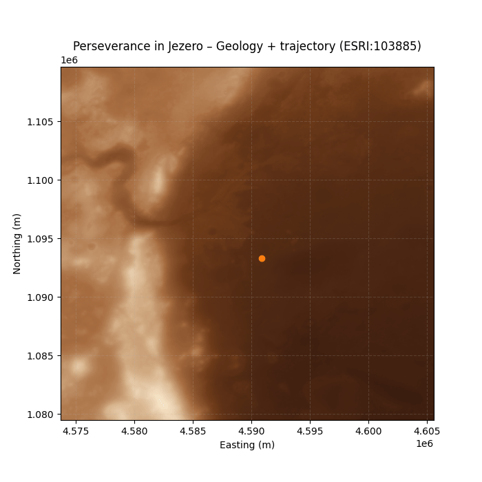
For the “Process” challenge, I decided to document the entire workflow behind the map and animation I created for Day 18 – Out of This World, where I visualized the movements of the Perseverance rover on a HiRISE/CTX mosaic of the Jezero crater on Mars. In this post, I share the technical process from start …